-
 ×
- Home
- Stampe Artistiche ▸
- Artisti ▸
- Categorie ▸
- Stili artistici ▸
- Cornice per immagini ▸
- La stampa ▸
- Tutti i supporti di stampa
- Tela Leonardo (raso)
- Tela Salvador (opaca)
- Tela Raphael (opaca)
- FineArt foto matte
- FineArt foto satinata
- FineArt foto baryte
- FineArt foto lucida
- Cartoncino acquerello Munch
- Cartoncino acquerello Renoir
- Cartone acquerello Turner
- Cartone Acquerello Dürer
- Natural Line Hemp
- Natural Line Rice
- Kozo White, 110g
- Kozo Natural, 110g
- Inbe White, 125g
- Unryu, 55g
- Bamboo, 110g
- Premio Unryu, 165g
- Murakumo Natural, 42g
- Bizan Natural, 300g
- Bizan White, 300g
- Composito di alluminio 3mm
- Vetro acrilico 5mm
- Ordina set di campioni
- Quale supporto di stampa è adatto?
Tela
Carta fotografica
Cartoncino per acquerello
Natural Line
Carta giapponese
Supporti speciali
Ulteriori informazioni
- Aiuto e servizio ▸
- Contattaci
- Vendi la tua arte
- Domande frequenti
- Posizioni aperte
- Reclamo
- Ordina campioni
- Ordina buoni
- Costi di spedizione
- Tempi di produzione
- Sostenibilità
- Ricerca immagini
- Richieste speciali
- Chi siamo?
- Politica dei prezzi
- Politica aziendale
- Promessa di qualità
- Riconoscimenti
- Telaio da pittura
- Passe-partout
- Cornici decorative
- Vetratura
- Filetti
- Sistemi di montaggio
- Supporti di stampa
- Suggerimenti per la cura
- Condizioni
- CG
- Informativa sulla privacy
- Recesso
Info e servizi
Ulteriori informazioni
Da sapere
Informazione legale
- Shop ▸
- Contatti






 Visualizza in 3D/AR
 Aggiungi ai preferiti
 Seleziona il colore della parete
 Guarda il dipinto in una stanza
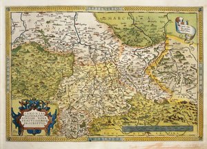
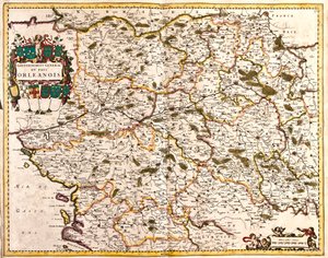
_(etching_-_(MeisterDrucke-1030478).jpg "Mappa del governo generale del paese di Orléans (Francia)")
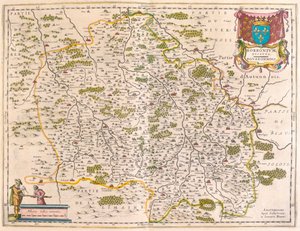
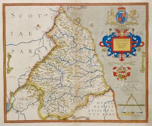
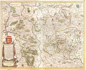
_(etching_-_(MeisterDrucke-982956).jpg "Mappa del Ducato di Brunswick (Germania)")
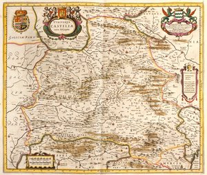
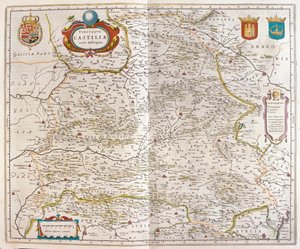
_(etching_-_(MeisterDrucke-1005225).jpg "Mappa del Regno di Castiglia (Spagna)")
.jpg "Wurttemberg, sud della Germania (incisione)")
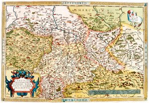
.jpg "Vestfalia, Germania (incisione)")
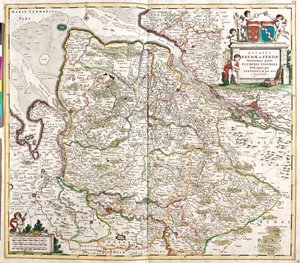
_(etching_-_(MeisterDrucke-982827).jpg "Mappa del Ducato di Brema e Verden (Germania)")
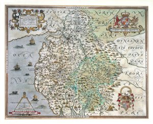
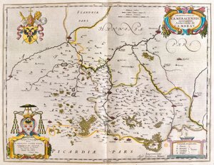
.jpg "Hainaut, Namur, Belgio")
 - (MeisterDrucke-153535).jpg "Mappa del Cambridgeshire, pubblicata ad Amsterdam c.1647-48")
.jpg "Portogallo (incisione)")
.jpg "Limburgo, Belgio (incisione)")
 from John Speeds Theatre of the Empire of Great Britain pub by John Sudbury and George Humble 1611-12 (hand coloured co - (MeisterDrucke-38105).jpg "Il Vescovado e la Città di Durham, inciso da Jodocus Hondius (1563-1612) da")
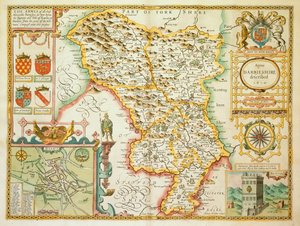
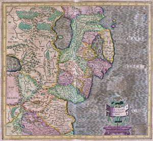
 - (MeisterDrucke-97194).jpg "Carta di Northampton e delle contee adiacenti, da «Atlas of England and Wales», 1576")
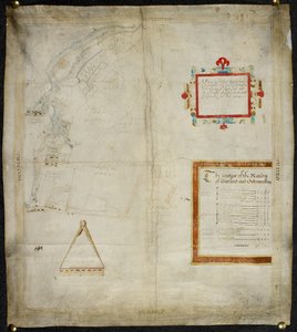
 - (MeisterDrucke-212831).jpg "Mappa della Contea di Cornwall, 1579")
.jpg "Mappa dello Yorkshire, incisa da William Web, pubblicata nel 1645")
 - (MeisterDrucke-53917).jpg "Mappa di Denbigh e Flint, da")
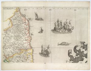

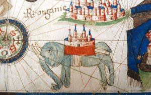

.jpg "Fol.54v Mappa della Florida, da")
.jpg "Piano e mappa della città e della cittadella di Mont-Louis")
.jpg "Septentrionalium terrarum descriptio, carta dell")
.jpg "Foglio 16, carta della Persia, dell")
 - (MeisterDrucke-164074).jpg "Una Nave a Vela che Spara il suo Cannone, dettaglio da una mappa del Pacifico, Cina e America, 1599")
.jpg "Mappa dell")
.jpg "Mappa che descrive le isole di Salvador, Espanola, Fernanda, Isabella e Conception, 1493")
.jpg "Mappa del mondo, basata sulle descrizioni e coordinate fornite nella „Geographia“, pubblicata per la prima volta a Ulma, Germania, nel 1482")
.jpg "Mappa del mondo, 1486")

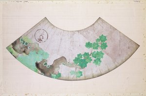
 - (MeisterDrucke-91164).jpg "Mappa del Medio Oriente, da Theatrum Orbis Terrarum, 1570")
.jpg "Nudo femminile disteso")
.jpg "Nudo orientale")
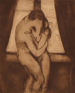
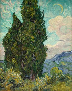
.jpg "Il giardino dell")
.jpg "Yacht che si avvicina alla costa")
.jpg "Il Canal Grande")
.jpg "Venere e Marte")

 +43 4257 29415
 support@meisterdrucke.com
 Mo-Do: 7:00 - 16:00 | Fr: 7:00 - 13:00