-
 ×
- Home
- Stampe Artistiche ▸
- Artisti ▸
- Categorie ▸
- Stili artistici ▸
- Cornice per immagini ▸
- La stampa ▸
- Tutti i supporti di stampa
- Tela Leonardo (raso)
- Tela Salvador (opaca)
- Tela Raphael (opaca)
- FineArt foto matte
- FineArt foto satinata
- FineArt foto baryte
- FineArt foto lucida
- Cartoncino acquerello Munch
- Cartoncino acquerello Renoir
- Cartone acquerello Turner
- Cartone Acquerello Dürer
- Natural Line Hemp
- Natural Line Rice
- Kozo White, 110g
- Kozo Natural, 110g
- Inbe White, 125g
- Unryu, 55g
- Bamboo, 110g
- Premio Unryu, 165g
- Murakumo Natural, 42g
- Bizan Natural, 300g
- Bizan White, 300g
- Composito di alluminio 3mm
- Vetro acrilico 5mm
- Ordina set di campioni
- Quale supporto di stampa è adatto?
Tela
Carta fotografica
Cartoncino per acquerello
Natural Line
Carta giapponese
Supporti speciali
Ulteriori informazioni
- Aiuto e servizio ▸
- Contattaci
- Vendi la tua arte
- Domande frequenti
- Posizioni aperte
- Reclamo
- Ordina campioni
- Ordina buoni
- Costi di spedizione
- Tempi di produzione
- Sostenibilità
- Ricerca immagini
- Richieste speciali
- Chi siamo?
- Politica dei prezzi
- Politica aziendale
- Promessa di qualità
- Riconoscimenti
- Telaio da pittura
- Passe-partout
- Cornici decorative
- Vetratura
- Filetti
- Sistemi di montaggio
- Supporti di stampa
- Suggerimenti per la cura
- Condizioni
- CG
- Informativa sulla privacy
- Recesso
Info e servizi
Ulteriori informazioni
Da sapere
Informazione legale
- Shop ▸
- Contatti





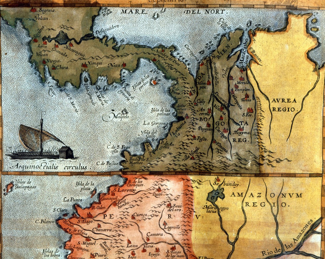
 Visualizza in 3D/AR
 Aggiungi ai preferiti
 Seleziona il colore della parete
 Guarda il dipinto in una stanza
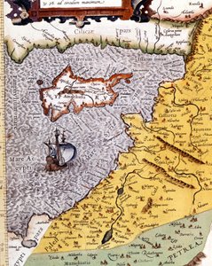
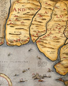
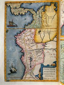
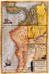
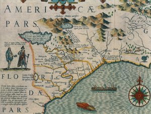
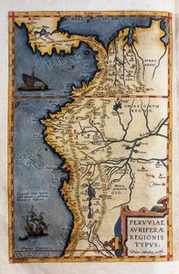
.jpg "Carta delle regioni aurifere del Perù, dall")
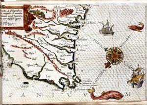
.jpg "Africa nord-occidentale con le Canarie (incisione)")
.jpg "Antica carta storica dell")
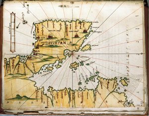
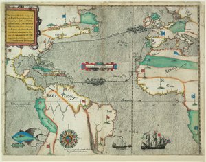
.jpg "Rotta del viaggio di Drake attraverso l")
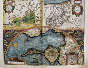
.jpg "Aragona e Catalogna, Spagna (incisione)")
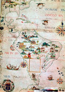
 - (MeisterDrucke-37902).jpg "Carta del Canada, da «Carta dell")
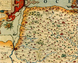
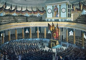
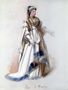
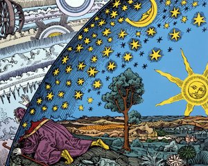


 - (MeisterDrucke-681505).jpg "Tahiti: Paesaggio tahitiano, Paul Gauguin (1893)")
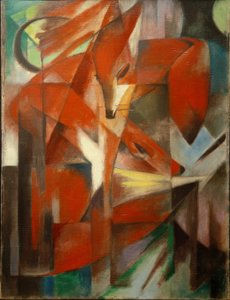
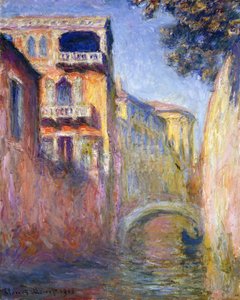
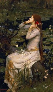
.jpg "Pittura rupestre di Lascaux, Bordeaux, Francia")
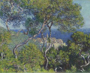
.jpg "Le stagioni: estate, 1896")
.jpg "Il cacciatore di farfalle")
.jpg "L")


 +43 4257 29415
 support@meisterdrucke.com
 Mo-Do: 7:00 - 16:00 | Fr: 7:00 - 13:00