-
 ×
- Home
- Stampe Artistiche ▸
- Artisti ▸
- Categorie ▸
- Stili artistici ▸
- Cornice per immagini ▸
- La stampa ▸
- Tutti i supporti di stampa
- Tela Leonardo (raso)
- Tela Salvador (opaca)
- Tela Raphael (opaca)
- FineArt foto matte
- FineArt foto satinata
- FineArt foto baryte
- FineArt foto lucida
- Cartoncino acquerello Munch
- Cartoncino acquerello Renoir
- Cartone acquerello Turner
- Cartone Acquerello Dürer
- Natural Line Hemp
- Natural Line Rice
- Kozo White, 110g
- Kozo Natural, 110g
- Inbe White, 125g
- Unryu, 55g
- Bamboo, 110g
- Premio Unryu, 165g
- Murakumo Natural, 42g
- Bizan Natural, 300g
- Bizan White, 300g
- Composito di alluminio 3mm
- Vetro acrilico 5mm
- Ordina set di campioni
- Quale supporto di stampa è adatto?
Tela
Carta fotografica
Cartoncino per acquerello
Natural Line
Carta giapponese
Supporti speciali
Ulteriori informazioni
- Aiuto e servizio ▸
- Contattaci
- Vendi la tua arte
- Domande frequenti
- Posizioni aperte
- Reclamo
- Ordina campioni
- Ordina buoni
- Costi di spedizione
- Tempi di produzione
- Sostenibilità
- Ricerca immagini
- Richieste speciali
- Chi siamo?
- Politica dei prezzi
- Politica aziendale
- Promessa di qualità
- Riconoscimenti
- Telaio da pittura
- Passe-partout
- Cornici decorative
- Vetratura
- Filetti
- Sistemi di montaggio
- Supporti di stampa
- Suggerimenti per la cura
- Condizioni
- CG
- Informativa sulla privacy
- Recesso
Info e servizi
Ulteriori informazioni
Da sapere
Informazione legale
- Shop ▸
- Contatti





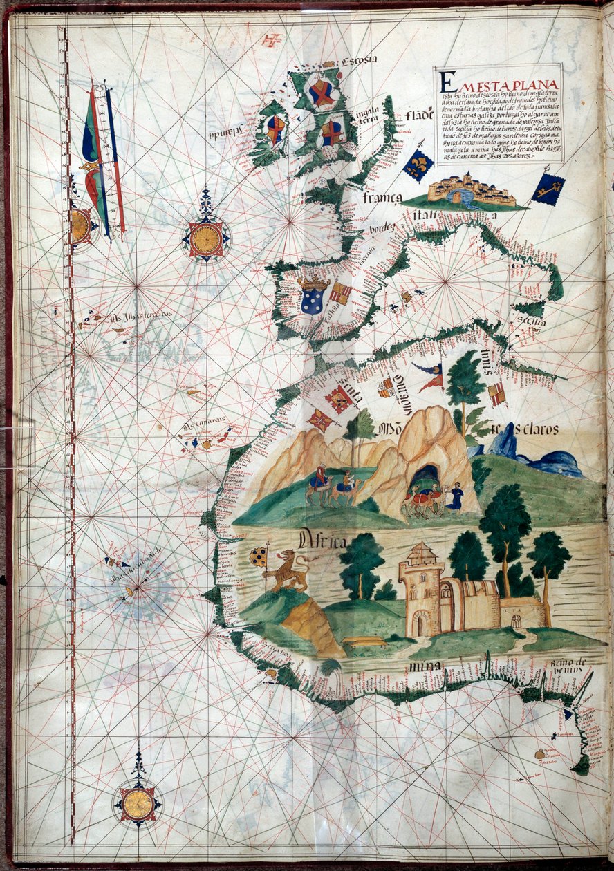
.jpg)
 Visualizza in 3D/AR
 Aggiungi ai preferiti
 Seleziona il colore della parete
 Guarda il dipinto in una stanza
 - (MeisterDrucke-107630).jpg "Egitto e il Mar Rosso, da un atlante nautico del Mediterraneo e del Medio Oriente")
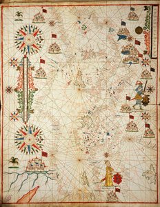
.jpg "Fol. 47v Carta del Perù, da «Cosmographie Universelle», 1555")
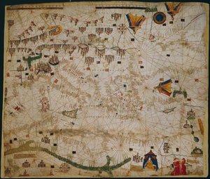
 (see also 330937-330938) - (MeisterDrucke-82399).jpg "Il bacino del Mediterraneo, da un atlante nautico, 1646")
.jpg "Carta dell")
.jpg "Carta marina del Mar Mediterraneo e del Mar Nero")
 (see also 330914) - (MeisterDrucke-115397).jpg "Il Mediterraneo orientale, da un atlante nautico, 1520")
.jpg "Carta nautica del Mar Mediterraneo e del Mar Nero")
 - (MeisterDrucke-104412).jpg "Mappa delle Molucche, 1522")
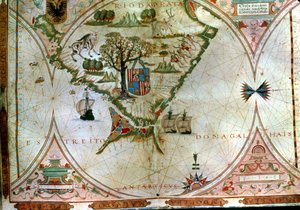
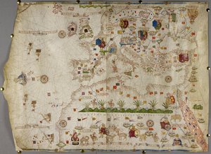
 (detail from 330916) - (MeisterDrucke-131759).jpg "Nord Africa, da un atlante nautico, 1520 (inchiostro su pergamena) (dettaglio)")
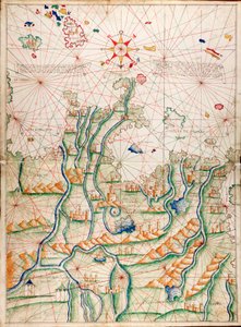
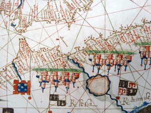
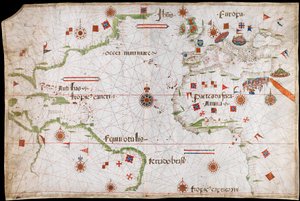
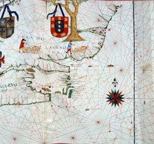
.jpg "Mar Nero e Mediterraneo orientale")
 (detail from 330913) - (MeisterDrucke-123431).jpg "Il Mar Rosso, da un atlante nautico, 1520 (dettaglio)")

.jpg "Carta nautica dell")
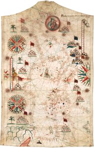
.jpg "Mar Nero e Mediterraneo orientale")
 (see also 330920-330921) - (MeisterDrucke-83175).jpg "Le coste atlantiche dell")
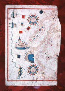
 (detail from 330919) - (MeisterDrucke-120357).jpg "Le città di Marsiglia e Genova con i loro porti, da un atlante nautico, 1651 (dettaglio)")
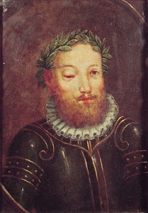
 (panel) - (MeisterDrucke-62799).jpg "Ritratto di Giovanni II del Portogallo (1455-95)")
.jpg "La caravella di Vasco da Gama, illustrazione da ‘Memórias das Armadas...’, ca. 1568")

.jpg "Carta geografica delle Azzorre, 1587")
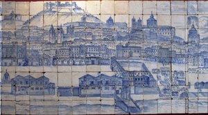
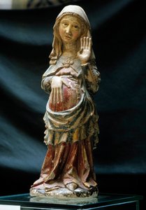
.jpg "La nave „Victoria“ di Ferdinando Magellano, la prima a circumnavigare il mondo")
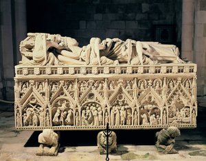
 Portuguese soldier and first viceroy of the Indies - (MeisterDrucke-42041).jpg "Francisco de Almeida (circa 1450-1510), soldato portoghese e primo viceré delle Indie")
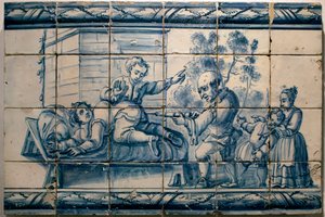
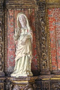
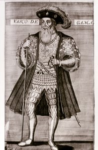
 The Fortunate King of Portugal from Lettura Nova by Alem Duoro 1513 - (MeisterDrucke-63889).jpg "Manuele I (1469-1521) «Il Fortunato», re del Portogallo, da «Lettura Nova» di Alem Duoro, 1513")
.jpg "Carta dell")
.jpg "Sul veliero")

.jpg "Campo di grano con cipressi")
.jpg "Tigre in una tempesta tropicale")
 - (MeisterDrucke-229132).jpg "Veduta di El Castillo, 1844")
.jpg "Il mercante di tappeti")
.jpg "Amici d")
.jpg "Baita alpina con tempo piovoso, 1850")
.jpg "Il sole tramonta rapido a occidente")
.jpg "La Resurrezione di Cristo, dall")

 +43 4257 29415
 support@meisterdrucke.com
 Mo-Do: 7:00 - 16:00 | Fr: 7:00 - 13:00