-
 ×
- Home
- Stampe Artistiche ▸
- Artisti ▸
- Categorie ▸
- Stili artistici ▸
- Cornice per immagini ▸
- La stampa ▸
- Tutti i supporti di stampa
- Tela Leonardo (raso)
- Tela Salvador (opaca)
- Tela Raphael (opaca)
- FineArt foto matte
- FineArt foto satinata
- FineArt foto baryte
- FineArt foto lucida
- Cartoncino acquerello Munch
- Cartoncino acquerello Renoir
- Cartone acquerello Turner
- Cartone Acquerello Dürer
- Natural Line Hemp
- Natural Line Rice
- Kozo White, 110g
- Kozo Natural, 110g
- Inbe White, 125g
- Unryu, 55g
- Bamboo, 110g
- Premio Unryu, 165g
- Murakumo Natural, 42g
- Bizan Natural, 300g
- Bizan White, 300g
- Composito di alluminio 3mm
- Vetro acrilico 5mm
- Ordina set di campioni
- Quale supporto di stampa è adatto?
Tela
Carta fotografica
Cartoncino per acquerello
Natural Line
Carta giapponese
Supporti speciali
Ulteriori informazioni
- Aiuto e servizio ▸
- Contattaci
- Vendi la tua arte
- Domande frequenti
- Posizioni aperte
- Reclamo
- Ordina campioni
- Ordina buoni
- Costi di spedizione
- Tempi di produzione
- Sostenibilità
- Ricerca immagini
- Richieste speciali
- Chi siamo?
- Politica dei prezzi
- Politica aziendale
- Promessa di qualità
- Riconoscimenti
- Telaio da pittura
- Passe-partout
- Cornici decorative
- Vetratura
- Filetti
- Sistemi di montaggio
- Supporti di stampa
- Suggerimenti per la cura
- Condizioni
- CG
- Informativa sulla privacy
- Recesso
Info e servizi
Ulteriori informazioni
Da sapere
Informazione legale
- Shop ▸
- Contatti





 Visualizza in 3D/AR
 Aggiungi ai preferiti
 Seleziona il colore della parete
 Guarda il dipinto in una stanza
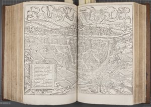
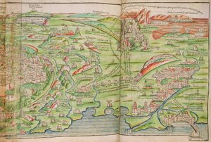
.jpg "Ms. Lat. 463, fol. 81v-82r, carta della Gallia, del Belgio, di Lione e dell")
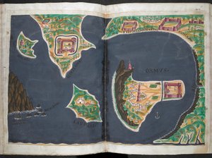
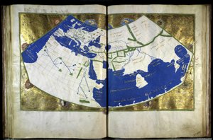
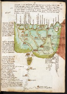
.jpg "Ms Lat 463 f.111v-112r Mappa della Fenicia, della Mesopotamia e di Babilonia")
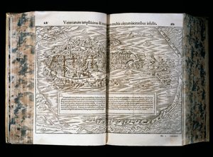
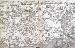

.jpg "Mappa del nord-est del Brasile")
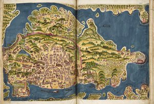
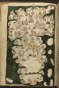
.jpg "Mappa della Scozia di John Harding, c.1450")
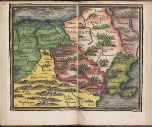
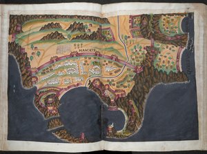
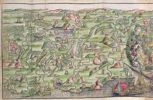
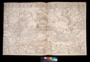
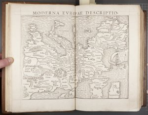
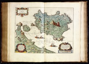

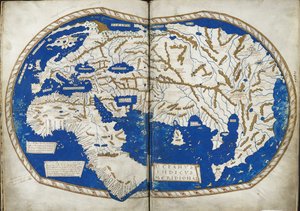
.jpg "Carta dell")
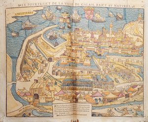

.jpg "San Brandano e una sirena, dalla traduzione tedesca della Navigatio Sancti Brendani Abbatis, ca. 1476")
 - (MeisterDrucke-110319).jpg "La prostituta di Babilonia, dalla Bibbia di Lutero, circa 1530 (xilografia colorata)")

.jpg "Alce, 1860")
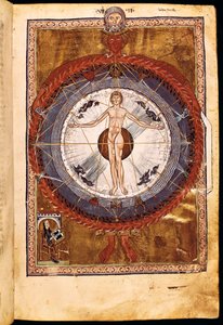
.jpg "Il coro degli angeli. Miniatura dal Liber Scivias di Ildegarda di Bingen, ca. 1175")
.jpg "Mappa del mondo, da «Le Theatre du Monde» o «Nouvel Atlas», 1645")
.jpg "Mappa di Poznań e Gruczno, da «Civitates Orbis Terrarum» di Georg Braun (1541-1622) e Frans Hogenberg (1535-90), ca. 1572-1617")
.jpg "Mappa di Forata e Jeresa da")
.jpg "Mappa di Toledo e Valladolid, da ’Civitates Orbis Terrarum’ di Georg Braun (1541-1622) e Frans Hogenberg (1535-90), ca. 1572")
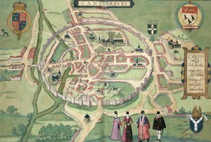
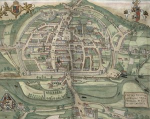
.jpg "Mappa di Clerkenwell, Città di Londra, 1746")
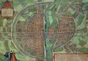

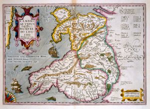


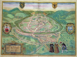
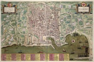
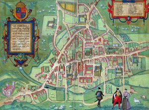
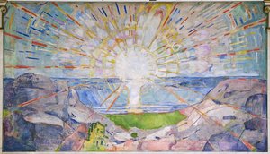
.jpg "Teatro di Marcello")
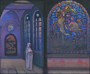
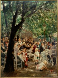
.jpg "Le stagioni: autunno, 1896")
.jpg "Dopo una burrasca, 1903")
.jpg "Tigre in una tempesta tropicale")

.jpg "I discepoli Pietro e Giovanni corrono al sepolcro la mattina della Resurrezione, ca. 1898")
.jpg "Tre girasoli")
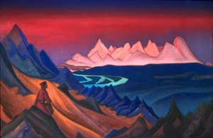
 engraved by Langlois from Choix des Plus Belles Fleurs 1827-33 - (MeisterDrucke-206143).jpg "Piselli odorosi (Lathyrus odoratus), incisi da Langlois, da «Choix des Plus Belles Fleurs», 1827-33")
.jpg "Volpe blu, 1911")
.jpg "Ciliegio in fiore")

 +43 4257 29415
 support@meisterdrucke.com
 Mo-Do: 7:00 - 16:00 | Fr: 7:00 - 13:00