-
 ×
- Home
- Stampe Artistiche ▸
- Artisti ▸
- Categorie ▸
- Stili artistici ▸
- Cornice per immagini ▸
- La stampa ▸
- Tutti i supporti di stampa
- Tela Leonardo (raso)
- Tela Salvador (opaca)
- Tela Raphael (opaca)
- FineArt foto matte
- FineArt foto satinata
- FineArt foto baryte
- FineArt foto lucida
- Cartoncino acquerello Munch
- Cartoncino acquerello Renoir
- Cartone acquerello Turner
- Cartone Acquerello Dürer
- Natural Line Hemp
- Natural Line Rice
- Kozo White, 110g
- Kozo Natural, 110g
- Inbe White, 125g
- Unryu, 55g
- Bamboo, 110g
- Premio Unryu, 165g
- Murakumo Natural, 42g
- Bizan Natural, 300g
- Bizan White, 300g
- Composito di alluminio 3mm
- Vetro acrilico 5mm
- Ordina set di campioni
- Quale supporto di stampa è adatto?
Tela
Carta fotografica
Cartoncino per acquerello
Natural Line
Carta giapponese
Supporti speciali
Ulteriori informazioni
- Aiuto e servizio ▸
- Contattaci
- Vendi la tua arte
- Domande frequenti
- Posizioni aperte
- Reclamo
- Ordina campioni
- Ordina buoni
- Costi di spedizione
- Tempi di produzione
- Sostenibilità
- Ricerca immagini
- Richieste speciali
- Chi siamo?
- Politica dei prezzi
- Politica aziendale
- Promessa di qualità
- Riconoscimenti
- Telaio da pittura
- Passe-partout
- Cornici decorative
- Vetratura
- Filetti
- Sistemi di montaggio
- Supporti di stampa
- Suggerimenti per la cura
- Condizioni
- CG
- Informativa sulla privacy
- Recesso
Info e servizi
Ulteriori informazioni
Da sapere
Informazione legale
- Shop ▸
- Contatti





 Visualizza in 3D/AR
 Aggiungi ai preferiti
 Seleziona il colore della parete
 Guarda il dipinto in una stanza
 - (MeisterDrucke-41384).jpg "Atlante 131 fol. 13, mappa di Saintes, capitale della Saintonge, da «Recueil des Plans de Saintonge», 1711")
.jpg "Fol.105 Mappa della città di Tonnay-Boutonne, da Recueil des Plans de Saintonge")
.jpg "Mappa di Loggan di Oxford, foglio orientale, da")
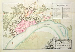
.jpg "Mappa di Düsseldorf, 1797")
.jpg "Visualizzatore interattivo")
.jpg "Piano di Lisle, 1736")
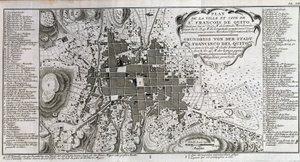
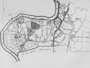
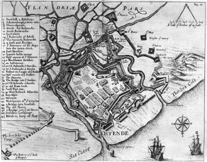
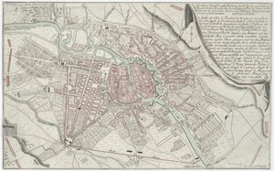
.jpg "Mappa di Oxford di Loggan, Foglio Occidentale, da")
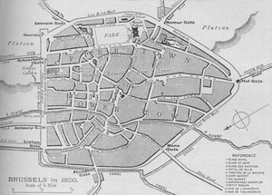
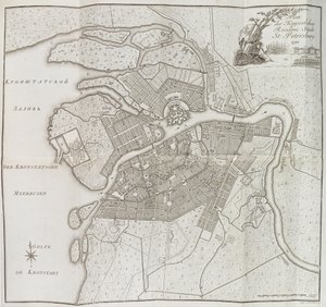
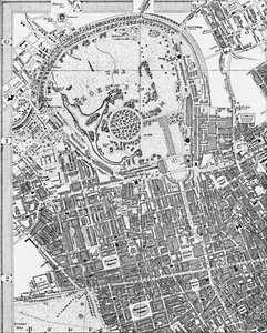
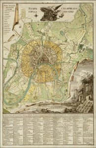
.jpg "Francoforte sul Meno, 1628")
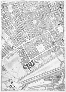
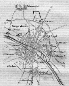
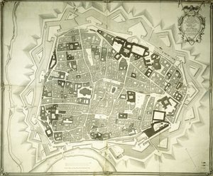
.jpg "Mappa di St. James")
.jpg "Piano della città interna di Vienna, stato prima del 1854")

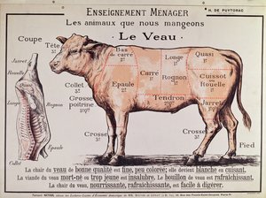
.jpg "Manzo: diagramma raffigurante i diversi tagli di carne")
.jpg "Lo scudo di Achille, secondo la descrizione nell")
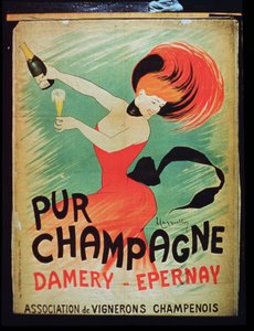
.jpg "«L")

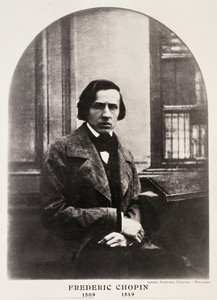
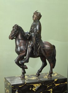
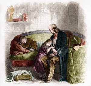
.jpg "Fantino su un cavallo al galoppo, tavola 627 da Animal Locomotion, 1887")
.jpg "Angelo musicista")
.jpg "Uomo e donna, abbraccio")
.jpg "Malcesine sul Lago di Garda")

.jpg "Due donne che si abbracciano")

 +43 4257 29415
 support@meisterdrucke.com
 Mo-Do: 7:00 - 16:00 | Fr: 7:00 - 13:00