-
 ×
- Home
- Stampe Artistiche ▸
- Artisti ▸
- Categorie ▸
- Stili artistici ▸
- Cornice per immagini ▸
- La stampa ▸
- Tutti i supporti di stampa
- Tela Leonardo (raso)
- Tela Salvador (opaca)
- Tela Raphael (opaca)
- FineArt foto matte
- FineArt foto satinata
- FineArt foto baryte
- FineArt foto lucida
- Cartoncino acquerello Munch
- Cartoncino acquerello Renoir
- Cartone acquerello Turner
- Cartone Acquerello Dürer
- Natural Line Hemp
- Natural Line Rice
- Kozo White, 110g
- Kozo Natural, 110g
- Inbe White, 125g
- Unryu, 55g
- Bamboo, 110g
- Premio Unryu, 165g
- Murakumo Natural, 42g
- Bizan Natural, 300g
- Bizan White, 300g
- Composito di alluminio 3mm
- Vetro acrilico 5mm
- Ordina set di campioni
- Quale supporto di stampa è adatto?
Tela
Carta fotografica
Cartoncino per acquerello
Natural Line
Carta giapponese
Supporti speciali
Ulteriori informazioni
- Aiuto e servizio ▸
- Contattaci
- Vendi la tua arte
- Domande frequenti
- Posizioni aperte
- Reclamo
- Ordina campioni
- Ordina buoni
- Costi di spedizione
- Tempi di produzione
- Sostenibilità
- Ricerca immagini
- Richieste speciali
- Chi siamo?
- Politica dei prezzi
- Politica aziendale
- Promessa di qualità
- Riconoscimenti
- Telaio da pittura
- Passe-partout
- Cornici decorative
- Vetratura
- Filetti
- Sistemi di montaggio
- Supporti di stampa
- Suggerimenti per la cura
- Condizioni
- CG
- Informativa sulla privacy
- Recesso
Info e servizi
Ulteriori informazioni
Da sapere
Informazione legale
- Shop ▸
- Contatti





 Visualizza in 3D/AR
 Aggiungi ai preferiti
 Seleziona il colore della parete
 Guarda il dipinto in una stanza
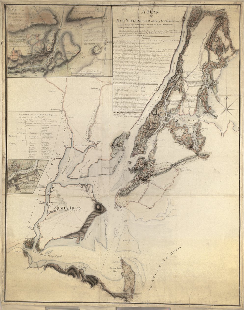
.jpg "Piano dell")
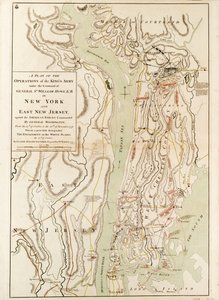
.jpg "Piano della città di New York e dei suoi dintorni fino a Greenwich sul fiume North (Hudson) fino a Crown Point sul fiume East, rilevato nel 1766, 1775")
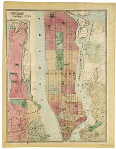
.jpg "Piano della città di New York che mostra le terre bonificate e le paludi, 1856")
.jpg "Mappa della città di New York come delineata dai commissari, 1814")
.jpg "Piano della città di New York in Nord America rilevato negli anni 1766 e 1767 pubblicato nell")
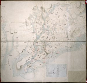
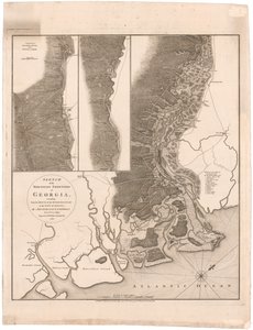
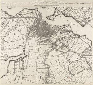
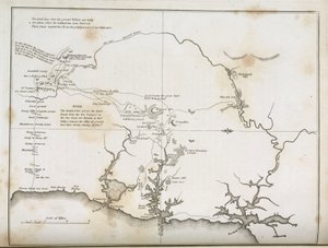
.jpg "La città di New York, come disegnata dai Commissari con il Paese Circostante, dal loro Segretario e Geometra John Randel, Jr., 1814")
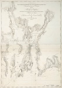
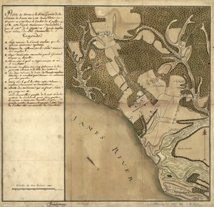
.jpg "Mappa dell")
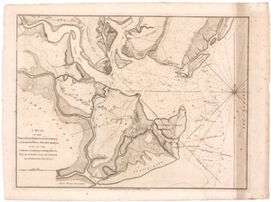
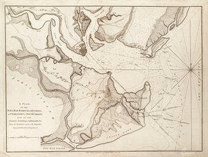
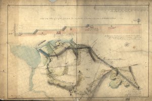
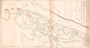
.jpg "Schizzo delle operazioni davanti a Charlestown, la capitale della Carolina del Sud, c.1780")

.jpg "Il sogno")
 - (MeisterDrucke-16196).jpg "Adele Bloch-Bauer")
.jpg "La zingara addormentata")
 - (MeisterDrucke-24669).jpg "Fantasma di un genio")
.jpg "Ritratto di giovane donna, 1896-97")
.jpg "Caccia alle balene nel mare polare")
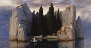
 1573 - (MeisterDrucke-92540).jpg "Autunno, da una serie raffigurante le quattro stagioni, commissionata dall")
 - (MeisterDrucke-62136).jpg "Ninfee: mattino, 1914-18 (sezione sinistra)")
.jpg "La Resurrezione di Cristo, dall")

 +43 4257 29415
 support@meisterdrucke.com
 Mo-Do: 7:00 - 16:00 | Fr: 7:00 - 13:00