-
 ×
- Home
- Stampe Artistiche ▸
- Artisti ▸
- Categorie ▸
- Stili artistici ▸
- Cornice per immagini ▸
- La stampa ▸
- Tutti i supporti di stampa
- Tela Leonardo (raso)
- Tela Salvador (opaca)
- Tela Raphael (opaca)
- FineArt foto matte
- FineArt foto satinata
- FineArt foto baryte
- FineArt foto lucida
- Cartoncino acquerello Munch
- Cartoncino acquerello Renoir
- Cartone acquerello Turner
- Cartone Acquerello Dürer
- Natural Line Hemp
- Natural Line Rice
- Kozo White, 110g
- Kozo Natural, 110g
- Inbe White, 125g
- Unryu, 55g
- Bamboo, 110g
- Premio Unryu, 165g
- Murakumo Natural, 42g
- Bizan Natural, 300g
- Bizan White, 300g
- Composito di alluminio 3mm
- Vetro acrilico 5mm
- Ordina set di campioni
- Quale supporto di stampa è adatto?
Tela
Carta fotografica
Cartoncino per acquerello
Natural Line
Carta giapponese
Supporti speciali
Ulteriori informazioni
- Aiuto e servizio ▸
- Contattaci
- Vendi la tua arte
- Domande frequenti
- Posizioni aperte
- Reclamo
- Ordina campioni
- Ordina buoni
- Costi di spedizione
- Tempi di produzione
- Sostenibilità
- Ricerca immagini
- Richieste speciali
- Chi siamo?
- Politica dei prezzi
- Politica aziendale
- Promessa di qualità
- Riconoscimenti
- Telaio da pittura
- Passe-partout
- Cornici decorative
- Vetratura
- Filetti
- Sistemi di montaggio
- Supporti di stampa
- Suggerimenti per la cura
- Condizioni
- CG
- Informativa sulla privacy
- Recesso
Info e servizi
Ulteriori informazioni
Da sapere
Informazione legale
- Shop ▸
- Contatti





 Visualizza in 3D/AR
 Aggiungi ai preferiti
 Seleziona il colore della parete
 Guarda il dipinto in una stanza

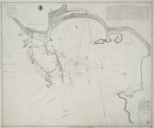
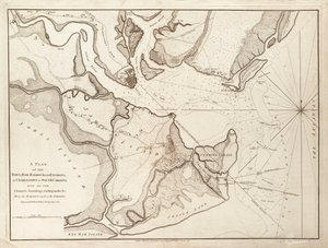
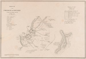
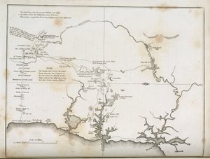

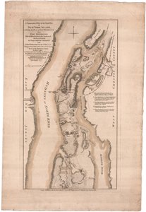

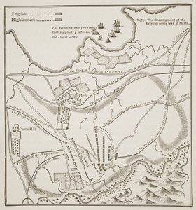
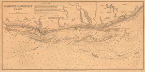
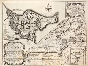
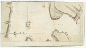
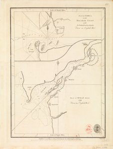
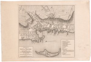
.jpg "(Pianta della città e del porto di Sant")
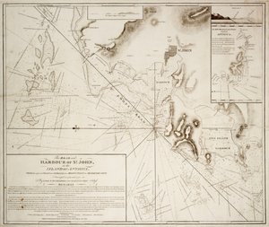
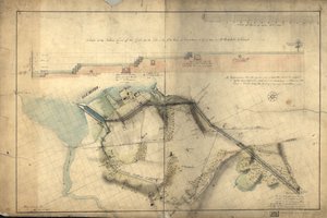
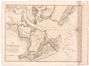
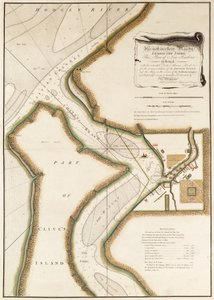
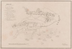
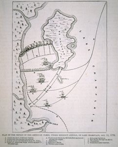
.jpg "Piano della città di New York che mostra le terre bonificate e le paludi, 1856")
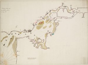
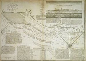
.jpg "Piano della città di Sydney, da Voyage Autour du Monde (1817-20), pubblicato 1822-24")
.jpg "La gita in barca sulla Meurthe")
.jpg "Marina al chiaro di luna sul mare")
.jpg "L")
 - (MeisterDrucke-637264).jpg "Vista da una finestra, 1988")
.jpg "L")
.jpg "I falciatori di montagna, prima versione")
.jpg "La valle delle lacrime, 1883")
 - (MeisterDrucke-21204).jpg "La Torre di Babele (Vienna)")

 +43 4257 29415
 support@meisterdrucke.com
 Mo-Do: 7:00 - 16:00 | Fr: 7:00 - 13:00