-
×
- Home
- Stampe Artistiche ▸
- Artisti ▸
- Categorie ▸
- Stili artistici ▸
- Cornice per immagini ▸
-
La stampa ▸
- Tutti i supporti di stampa
- Tela Leonardo (raso)
- Tela Salvador (opaca)
- Tela Raphael (opaca)
- FineArt foto matte
- FineArt foto satinata
- FineArt foto baryte
- FineArt foto lucida
- Cartoncino acquerello Munch
- Cartoncino acquerello Renoir
- Cartone acquerello Turner
- Cartone Acquerello Dürer
- Natural Line Hemp
- Natural Line Rice
- Kozo White, 110g
- Kozo Natural, 110g
- Inbe White, 125g
- Unryu, 55g
- Bamboo, 110g
- Premio Unryu, 165g
- Murakumo Natural, 42g
- Bizan Natural, 300g
- Bizan White, 300g
- Composito di alluminio 3mm
- Vetro acrilico 5mm
- Ordina set di campioni
- Quale supporto di stampa è adatto?
Tela
Carta fotografica
Cartoncino per acquerello
Natural Line
Carta giapponese
Supporti speciali
Ulteriori informazioni
-
Aiuto e servizio ▸
- Contattaci
- Vendi la tua arte
- Domande frequenti
- Posizioni aperte
- Reclamo
- Ordina campioni
- Ordina buoni
- Costi di spedizione
- Tempi di produzione
- Sostenibilità
- Ricerca immagini
- Richieste speciali
- Chi siamo?
- Politica dei prezzi
- Politica aziendale
- Promessa di qualità
- Telaio da pittura
- Passe-partout
- Cornici decorative
- Vetratura
- Filetti
- Sistemi di montaggio
- Supporti di stampa
- Suggerimenti per la cura
- Condizioni
- CG
- Informativa sulla privacy
- Recesso
Info e servizi
Ulteriori informazioni
Da sapere
Informazione legale
- Shop ▸
- Contatti


.jpg)
.jpg)
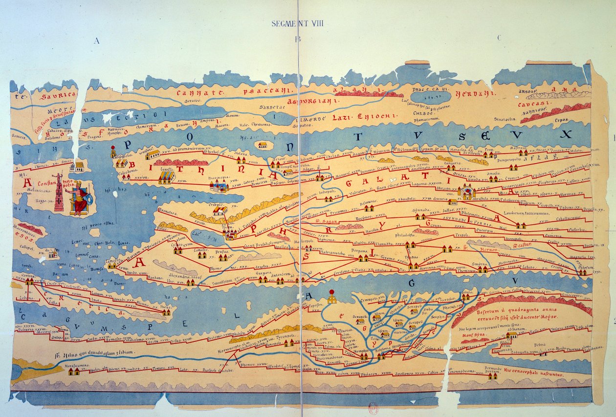
 an illustrated itinerarium of the road network in the Roman EmpireDetail of Italy from the Peutinger map copy - (MeisterDrucke-110655).jpg)
.jpg)
.jpg)
 - (MeisterDrucke-101695).jpg)
.jpg)
_-_(MeisterDrucke-1516129).jpg)
.jpg)
.jpg)
.jpg)
.jpg)
.jpg)
.jpg)
.jpg)
.jpg)
.jpg)
.jpg)
.jpg)
.jpg)
.jpg)
 (see also 330964) - (MeisterDrucke-102741).jpg)
.jpg)
.jpg)
.jpg)
.jpg)
.jpg)
 - (MeisterDrucke-676887).jpg)
.jpg)
.jpg)
_with_accessories_1768_Paris_museum_of_the_history_o_-_(MeisterDrucke-1030268).jpg)
_Anonym_-_(MeisterDrucke-987205).jpg)
_opera_created_-_(MeisterDrucke-1023841).jpg)
.jpg)
_-_(MeisterDrucke-973117).jpg)
.jpg)
.jpg)
_hanging_his_95_theses_in_Wittenberg_-_(MeisterDrucke-924105).jpg)
_King_of_the_Franks_-_(MeisterDrucke-954707).jpg)
.jpg)
.jpg)
.jpg)
.jpg)
_dit_Nostradamus_astrologue_(1503_-_(MeisterDrucke-1452929).jpg)
_-_(MeisterDrucke-644528).jpg)
.jpg)
.jpg)
.jpg)
.jpg)
_picking_flowers_fresco_from_the_villa_of_Varano_-_(MeisterDrucke-1021520).jpg)
.jpg)

.jpg)
.jpg)
.jpg)
.jpg)
.jpg)
.jpg)
.jpg)


